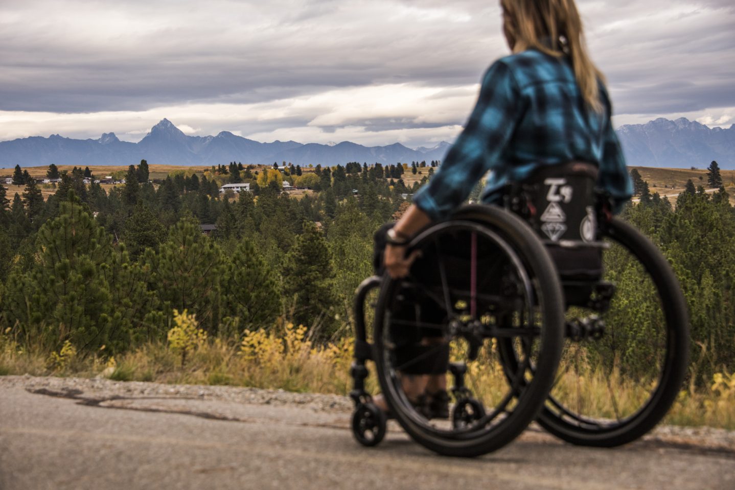
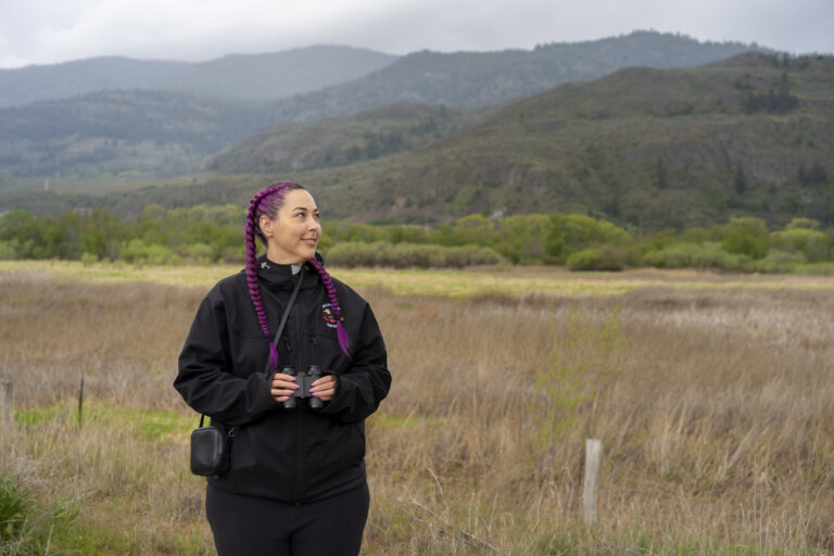
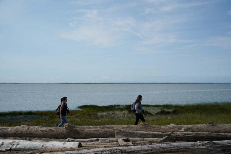
To continue our series on accessible birding along the BC Bird Trail, here is part two which focuses on the Fraser Valley and Columbia Valley Bird Trails. While Birdability week is over, there’s still work to do in ensuring that the birding community and the outdoors are welcoming, inclusive, safe, and accessible for everybody. You can read part one here, which covers the Central Vancouver Island and South Fraser Bird Trails.
This isn’t a definitive list, but we wanted to share some locations on the BC Bird Trail that offer accessible facilities and features, such as public washrooms, parking and reserved parking, wheelchair and stroller access, public transit access, flatter trails and boardwalks, and more.
If you’d like more information about birding-specific accessibility, check out Birdability’s website to learn more about how they are working to ensure the birding community and the outdoors are welcoming, inclusive, safe and accessible for everybody. Discover accessible birding through their crowdsourced Birdability Map that describes in detail the accessibility features of birding locations all over the world. Learn more about how you can help contribute to the Birdability Map!
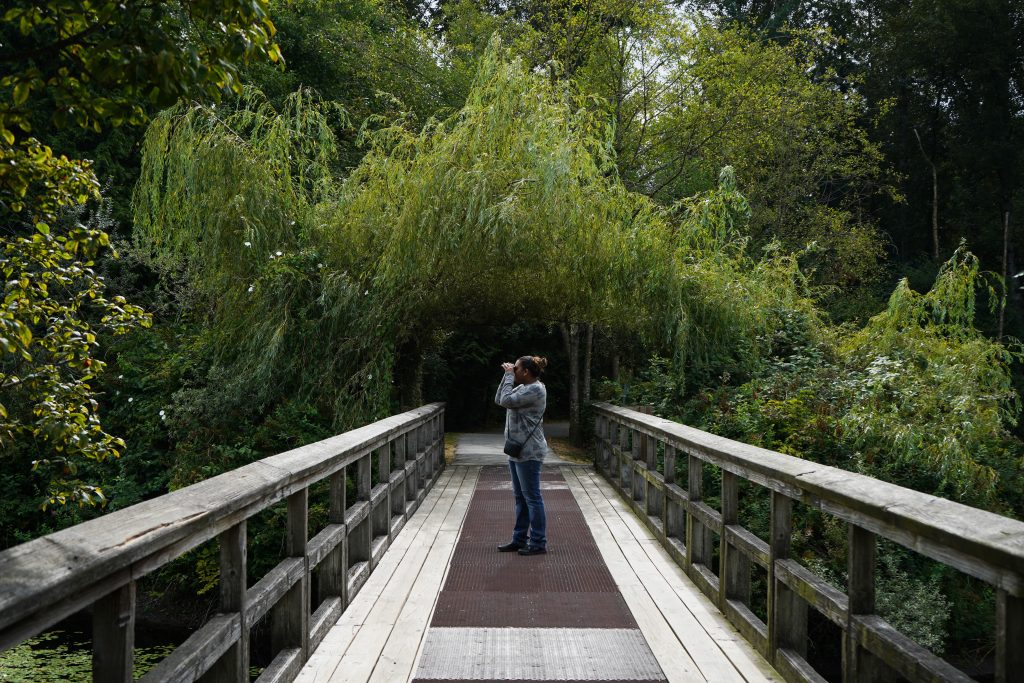
Accessible Birding Locations on the Fraser Valley Bird Trail
Abbotsford
Fishtrap Creek Park
- Day use sheltered picnic area
- Sightseeing benches
- Interpretive signage
- Main trail (part of the larger Discovery Trail) is flat and paved and wheelchair and stroller accessible
- Near public transit routes
- Mission Bridge (main park) entrance has parking, washroom facilities, drinking water, and picnic areas
- Page Road Trailhead has parking and toilets
- Flat gravel paths
- Some parts of the trail are known to flood
- Near public transit routes

- Parking available
- Washroom facilities
- There are twelve trails that work their way through the park, ranging from easy to hard difficulty. Consult online for which trail would be best suited for you.
Willband Creek Park
- Has two relatively flat, gravel looped trails: A 1.6km northern trail and a 2.33km southern trail, each looping a wetland pond
- Benches throughout the trails
- Trails have some wooden bridges
- Gravel parking lot
Chilliwack
- 20+ kilometres of mostly flat, fine gravel trails (made up of 4 main trails)
- Some parts of the trail are known to flood
- Several parking lots throughout the trail (Vedder Park and Lickman Vedder River Parking Lot)
- Vedder Park has washroom facilities
- Parts of the trail are near public transit routes
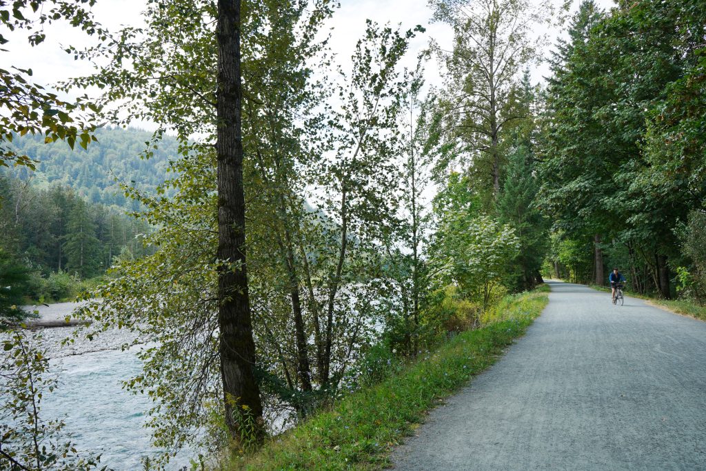
Great Blue Heron Nature Reserve
- Washroom facilities available for public use in the Interpretive Center
- Parking lots
- Trails are maintained for nature, flat, and either covered with gravel or woodchips. Some trails may have boardwalks as well
- Sheltered picnic area available
- Several parking areas available, although fees are in effect from late June to late October, when the Gatehouse is open
- Several washroom facilities
- The main walking trail is 3.2km, relatively flat and wide
Cheam Lake Wetlands Regional Park
- Approximately 2km of relatively flat trails
- Features a floating boardwalk leading to a viewing platform and a second wheelchair-accessible viewing platform close to the parking lot
- Parking available
- Washroom facilities
- Drinking water available
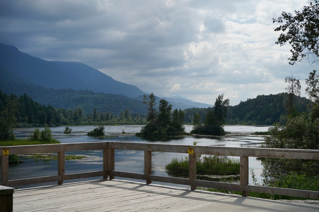
Harrison River Valley
Lhá:lt/Harrison-Chehalis Wildlife Management Area
- The Eagle Viewing & Forest Trail, as part of the Sandpiper Resort, offers a relatively flat, short trail through the forest and up to a viewing gazebo. Washroom facilities and interpretive signage are available.
- Wheelchair-accessible toilets available at the Green Point day-use area
- The gravel lot at the Deer Lake boat launch has 15 spots for parking, some of which can accommodate large vehicles. There is an empty lot at Bench Campground for extra vehicles to park. No stalls are currently designated as accessible.
- All the main paths and access routes around the campgrounds and boat launch area are compacted crushed gravel, wide, and with minimal slope
- A short wooden boardwalk leading away from the boat launch has some small gaps between planks which should be taken into consideration for those who have mobility issues
- The Deer Lake section of the park has signs with good colour contrast that are conveniently located at the main entrance area of the park
Langley
- Accessible washrooms are available near the parking lot
- One universally accessible picnic table at the beach picnic area
- There is a ramp down to the beach, but access from the sand to the water is limited
- The Tavistock Point Trail is 2.1 km long with firm to semi firm fine gravel surface, less than 5% slopes, a minimum 2.5 m width, and has several viewpoints with one step up to viewing platforms
- Tavistock Trail Loop is a new loop trail that is a minimum 2.5 m wide with fine gravel surfacing and an accessible boardwalk
- Washroom facilities at Edgewater Bar and the Heritage Area are wheelchair accessible
- Campsites are available near the wheelchair accessible pit toilets near Edgewater Bar Picnic Shelter
- Benches and picnic table areas
- Drinking water available
- The Edge Trail generally has a firm to semi-firm fine gravel surface with some slopes up to 8% for short distances and is at minimum 1.5 m wide, 880 m long
- Edge Farm Trail is 1.6 km long, 1.5 m wide with a semi firm fine gravel surface
- The Fort-to-Fort Trail and some foreshore access points are hard packed and have some steep slopes (14%) between the Historic Cairn and Fort Langley.
- Trails include interpretive signage
- Several parking areas
- The Nature House, Wildlife Garden, Old Orchard Group Picnic Area (washroom partially accessible) and Coyote Group Camp are partially accessible (low toilet seat)
- Picnic tables and toilets at the North Valley Entrance, South Valley Entrance are also accessible (some may have difficulty with the heavy door or latch)
- Toilets at the Equestrian Centre are accessible
- Little River Loop Trail is 2.2 km in length, a minimum 1.7 m wide, with mostly gentle grade (less than 5% slope) while 40 m of trail has 6-8% slope. The trail surface is firm, made of packed crushed rock.
- Perimeter Trail is 3.7 km in length, 2.4 m wide, with a maximum grade of 6-8% slope for 10 m. The rest of the trail has gentle slopes.
- Several parking areas available
- Drinking water available
- Picnic areas

Accessible Birding Locations on the Columbia Valley Bird Trail
Cranbrook
- Walking trails wide enough for strollers and wheelchairs
- Three loop trails: “A Loop” is 0.76 km, “B Loop” is 1.23 km, and “C Loop” is 0.76 km
- Picnic table areas and benches throughout trails
- Interpretive signage available
- Parking available
- Near public transit routes, but not direct access
- 7 trailheads in the south part of the forest, with only the College of the Rockies trailhead, Chief Isadore trailhead (north end of Cranbrook), Lower Baker Mountain Road trailhead, Upper Baker Mountain Road trailhead, and Eager Lookout trailhead having some (limited) parking available
- Kettle Loop trail is 0.9km with interpretive signage
- More trail information can be found on their website
Golden
- Features a level, graded community-built trail
- Equipped with picnic tables, wheelchair access, and public washrooms
- Interpretive signage available
- Gazebo viewing area
- Picnic area
- Parking available
- Primarily a double-wide gravel pathway used by pedestrians and bike commuters that can be uneven in some parts
- Steeper section which overlooks Reflection Lake and the rodeo grounds

Kimberley
- A 26 km paved trail from Cranbrook to Kimberley
- Parking and washroom facilities available throughout the trail
- Seating and tables for public use are at the Jim Ogilvie Way and trail crossing just south of the Chapman Camp area of Kimberley and the Wycliffe Park Road parking lot
- Benches throughout the trail
Radium-Invermere
- Shaded picnic area
- Wheelchair accessible
- Public washrooms available
- Large parking area
Wilmer Wetlands Hiking Trail
- 3.7 km relatively flat trail that has a hilly portion at the end of the hike, which might reduce mobility for some hikers, as well as some narrow sections
- Small gravel parking area
- Washroom facilities, one picnic table, and four parking stalls are wheelchair-accessible
- A concrete ramp that provides access to the lake
- Paved pedestrian pathways run through the park, providing access from the parking area to the picnic area and the beach, with the pathways to the lake having a slight slope
While not an exhaustive list, we hope this can help everyone get out to enjoy nature on the BC Bird Trail. Due to varying accessibility needs, you may wish to look further or contact the park regions through the resources linked. For more information about accessible activities and experiences in British Columbia, check out Hello BC’s website. You can also discover more accessible locations through the BC Parks website and for Richmond-specific information, there is the Access Richmond database of accessible businesses, activities, and transportation.
Did we miss something? Let us know if there’s something we should add. Click here and fill out the form to contact us.
